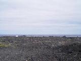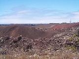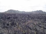
Kapoho is at the end of the island land mass and not quite so coincidentally right on the rift fault shearing lower Puna from the rest of the big island. This 1960 flow attests to the ever present possiblity of volcanic action here.
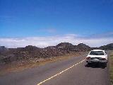
In the distance you see the start of the uprising effect and the start of the rift that traverses all the way down through the great crack in Ka'u. Just a little further up the road (back to Pahoa) is the geothermal utility plant built on hopefully lucky ground that provides about one third the electric power for the whole island.
